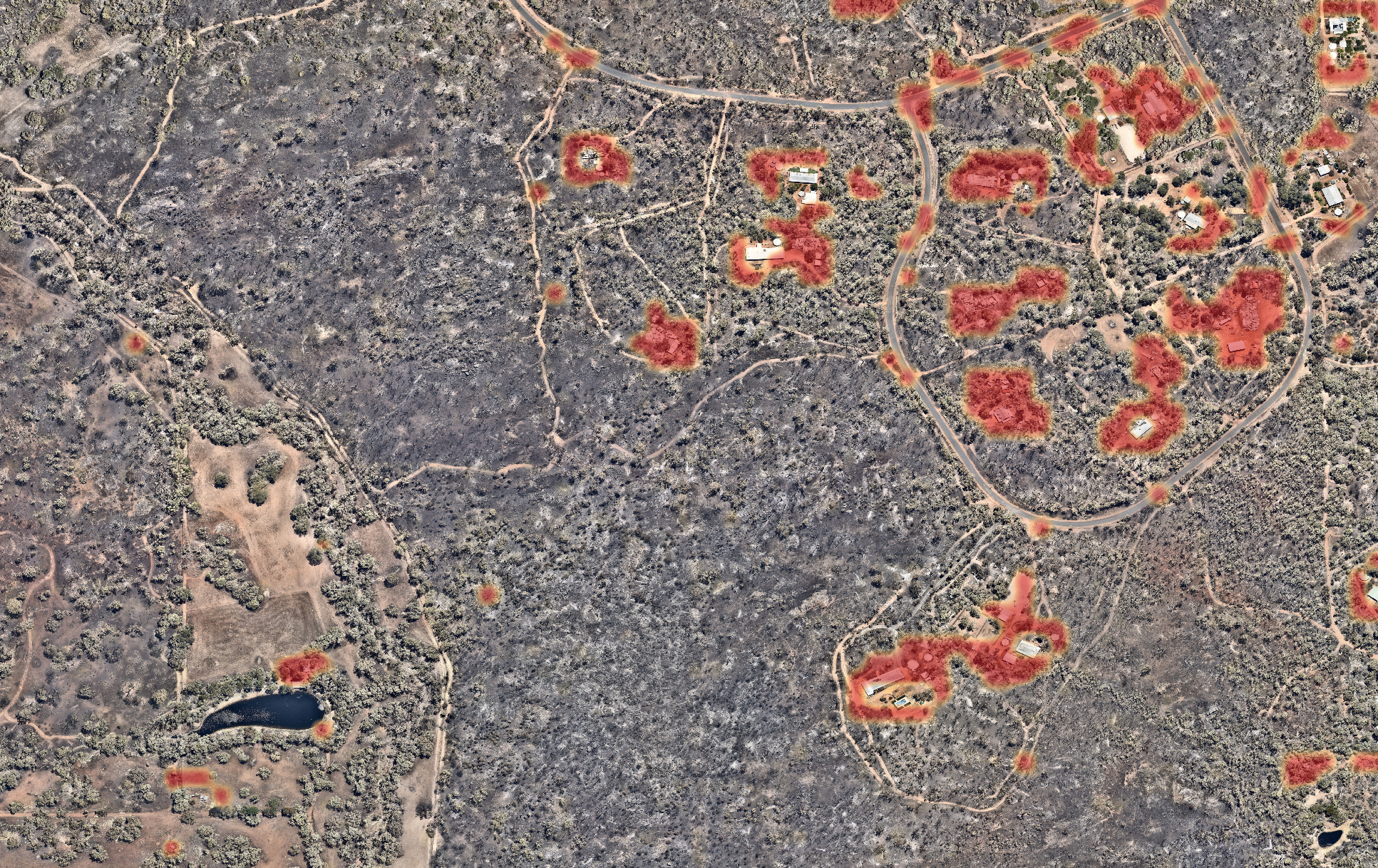
Find regions of interest tile by tile.
Automated anomaly detection across large-scale aerial and satellite imagery.
Aerial & satellite imagery
Find regions of interest tile by tile.
Automated anomaly detection across large-scale aerial and satellite imagery.
Overview
Revolutionize your geospatial data analysis with our cutting-edge Geospatial Anomaly Recognition and Detection System.
Efficiently process and analyse large-scale geospatial images with unparalleled precision. Our system is designed to automatically detect anomalies within vast datasets, allowing you to prioritise areas that require immediate attention, offering:
Generate GIS overlays for any textual query. This system uses BLIP-2's VQA (Visual Question Answering) to create colour-map overlays. This can be applied to aerial image processing to automate identification of regions of interest in a broad range of applications, including:
Discover the power of GARDS and transform your geospatial data analysis with our advanced tool.